

Water for a Desert Lake in Algeria
The ephemeral lake in Algeria offers critical insights into the historical rainfall patterns of the Sahara.
Sebkha el Melah: Desert Lake Revives Amid Climate Changes
).png)
F. Schubert
A humanist first, passionate about human interactions, AI, Space, Human Life and a DJ. 20 year experienced in Team Management in BBAS3 and also founder of Estudio1514.com. São Paulo, Brazil based.
Resumo
The ephemeral lake in Algeria offers critical insights into the historical rainfall patterns of the Sahara.
Roughly 11,000 to 5,000 years ago, during a period known as the African Humid Period, the Sahara Desert was not the arid expanse we know today. Instead, geologic and archaeological evidence suggests the region was home to abundant vegetation, wetlands, and potentially large lakes. Recent rains in September 2024 have illuminated this wet past.
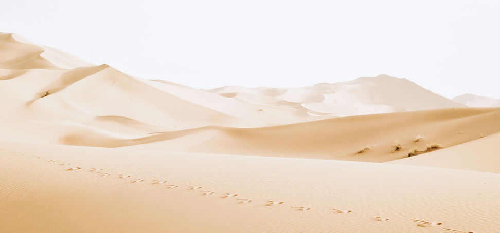
On September 29, 2024, the Operational Land Imager-2 (OLI-2) on Landsat 9 captured this image of Sebkha el Melah, an ephemeral lake in Algeria. The lake sits along a ridge of the Ougarta Range and receives water from the Oued Saoura, an ephemeral river (or wadi) that flows from the southeast.
The image above shows the lake after it was partially filled by rainfall from an extratropical cyclone that passed through northern Africa in September. For comparison, the image below shows the same area on August 12, 2024, when the lakebed was dry and encrusted with salt.

According to observations from NASA satellites, the lake began to fill in mid-September. By October 16, water covered 191 square kilometers (74 square miles) and reached a depth of 2.2 meters (7.2 feet)—about one-third full, according to Moshe Armon, a senior lecturer at the Hebrew University of Jerusalem. Armon calculated these metrics using satellite imagery and a three-dimensional topography map of the lake based on ICESat-2 observations. Only two other rain events since June 2000—in 2008 and 2014—have resulted in larger lake volumes.
"Filling desert lakes in such dry environments is a rare, largely undocumented, transient phenomenon," Armon said. "Studying these events is challenging due to the scarcity of ground-based weather stations in Algeria."
To understand the meteorological conditions required to fill Sebkha el Melah, Armon and colleagues examined rainfall data from NASA's Integrated Multi-satellite Retrievals (IMERG) and ERA5 reanalysis data produced by the European Center for Medium-range Weather Forecasts (ECMWF). Of the hundreds of rainfall events that have affected the Sebkha el Melah watershed since 2000, they found only six events that produced enough rain to fill the lake. Each of these events involved long-lasting extratropical cyclones that produced exceptionally heavy rainfall as moist tropical air was lifted over mountainous terrain—a process called orographic lift.
Once filled, water can persist in the lake for extended periods. After the large filling event in 2008, it took four years for the lake to completely dry out. Armon estimates that the current 2.2-meter depth of water could last for up to a year before fully evaporating if no additional rain falls.
NASA Earth Observatory image by Lauren Dauphin, using Landsat data from the U.S. Geological Survey. Story by Adam Voiland.